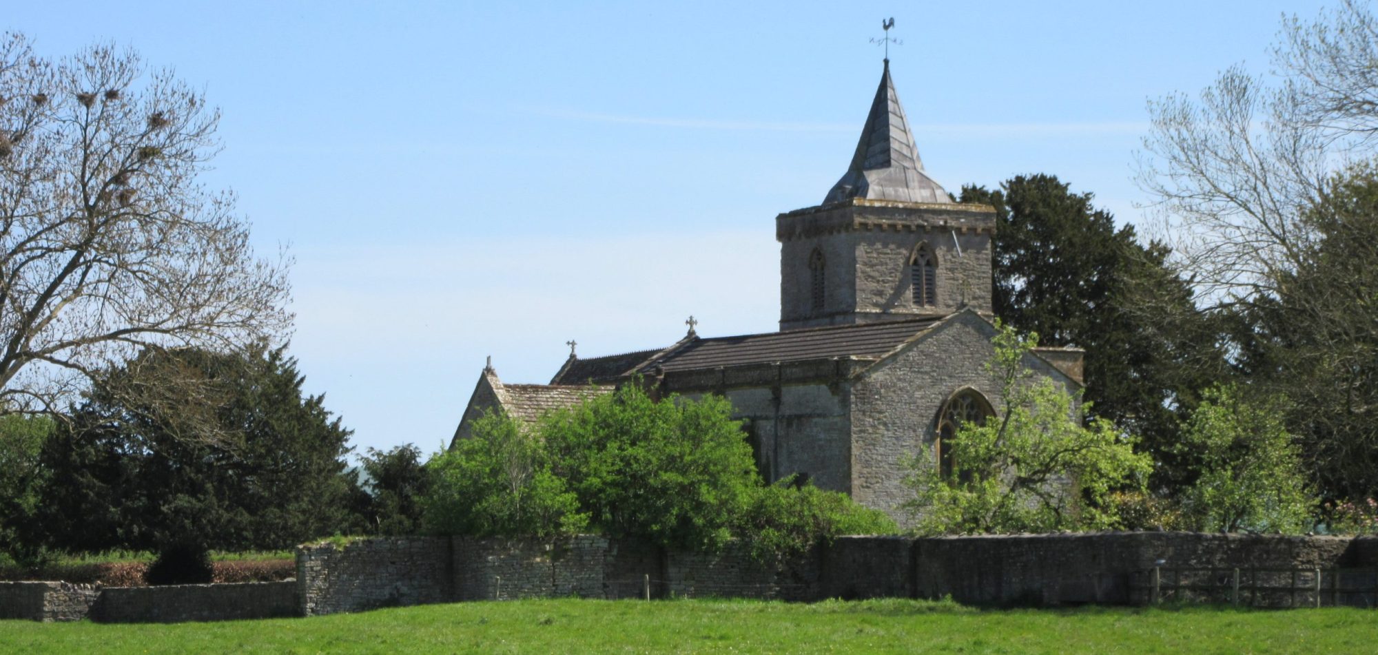
West Camel is a small village and parish in south Somerset, seven miles from the towns of Sherborne and Yeovil, with a population of about 450. The parish includes the hamlet of Urgashay.
This is a pleasant village, straddling the river Cam, and with an attractive Village Green, an old Tythe Barn and an historic Parish Church. Over the years, villagers have raised a large amount of money for local projects, including a playing field with children’s play equipment and a multi-purpose sports court. The most ambitious project was the Davis Hall, an excellent facility opened in 2001, where most village activities now take place.
The name “Camel” derives not from the animal, but from the name “Cantmeel”, “Cantmell” or “Cantmel”, by which West Camel was formerly known.”Cantmeel” itself derives from the words cant (ridge) and mael (bare). The village was also known as Camel Abbatis for its association with Muchelney Abbey. This is one of many sites in England identified as a possible setting of The Strife of Camlann, related as the final battle of King Arthur.
Read more on our Village history page
Running through West Camel is the Leland Trail, a 28 miles (45.1km) footpath that follows in the footsteps of John Leland, as he traversed across South Somerset in 1535–1543, during his investigations of the district’s antiquities. The Leland Trail begins at King Alfred’s Tower on the Wiltshire/Somerset border and ends at Ham Hill Country Park. West Camel also has its own Village Trail – a brochure with map and illustrations is available in the Davis Hall.
The parish council has responsibility for local issues, including setting an annual precept (local rate) to cover the council’s operating costs and producing annual accounts for public scrutiny. As elsewhere, the parish council evaluates local planning applications and works with the local police, district council officers, and neighbourhood watch groups on crime, security, and traffic. Its role also includes initiating projects for maintaining and repairing parish facilities, and consulting with the county council on the maintenance, repair and improvement of highways, drainage, footpaths, public transport, and street cleaning. Conservation matters (including trees and listed buildings) and environmental issues are also within its responsibility.
The village falls within the unitary authority area of Somerset Council, which controls local planning and building, local roads, council housing, environmental health, refuse collection and recycling, cemeteries and crematoria, leisure services, parks, and tourism. Somerset Council is also responsible for running the most expensive local services, such as education, social services, libraries, main roads, public transport, trading standards, and strategic planning. West Camel belongs to the electoral ward of Castle Cary.
The village belongs to the Glastonbury & Somerton Parliamentary constituency (Camelot electoral ward) wef General Election in July 2024. The current MP is Sarah Dyke (Liberal Democrat).
The Church of All Saints dates from the late 14th century. It is a Grade 1 listed building. Its rectory dates from the early 15th century. The older wing may form part of the Grange pertaining to Muchelney Abbey; the south wing was probably added by Rev. Henry Law between 1824 and 1836.
We invite you to find out more about the village, its people, and activities by exploring this web site. And if you pass this way, please drop in!
With acknowledgement to Wikipedia https://creativecommons.org/licences/by-sa/3.0/

